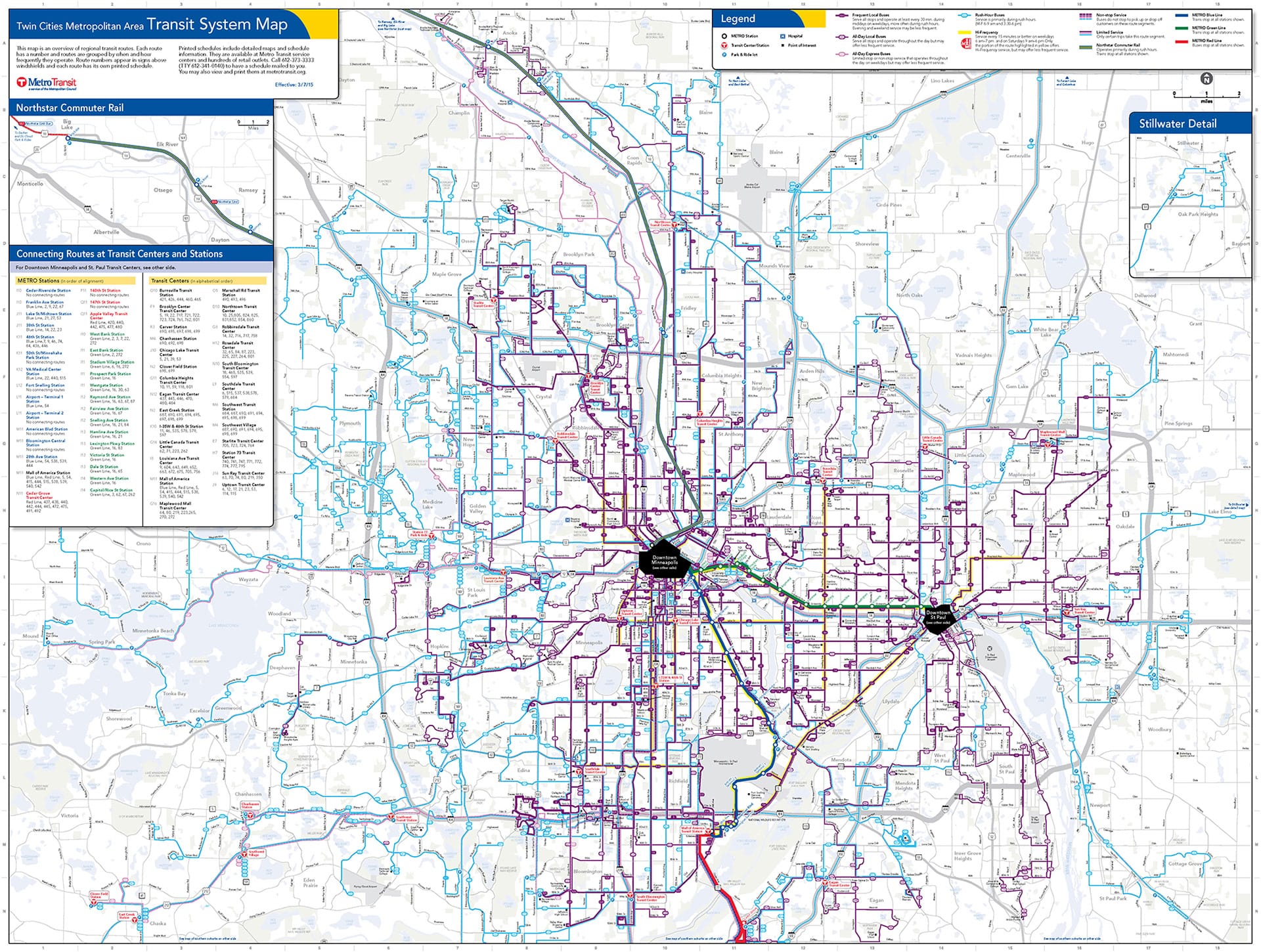
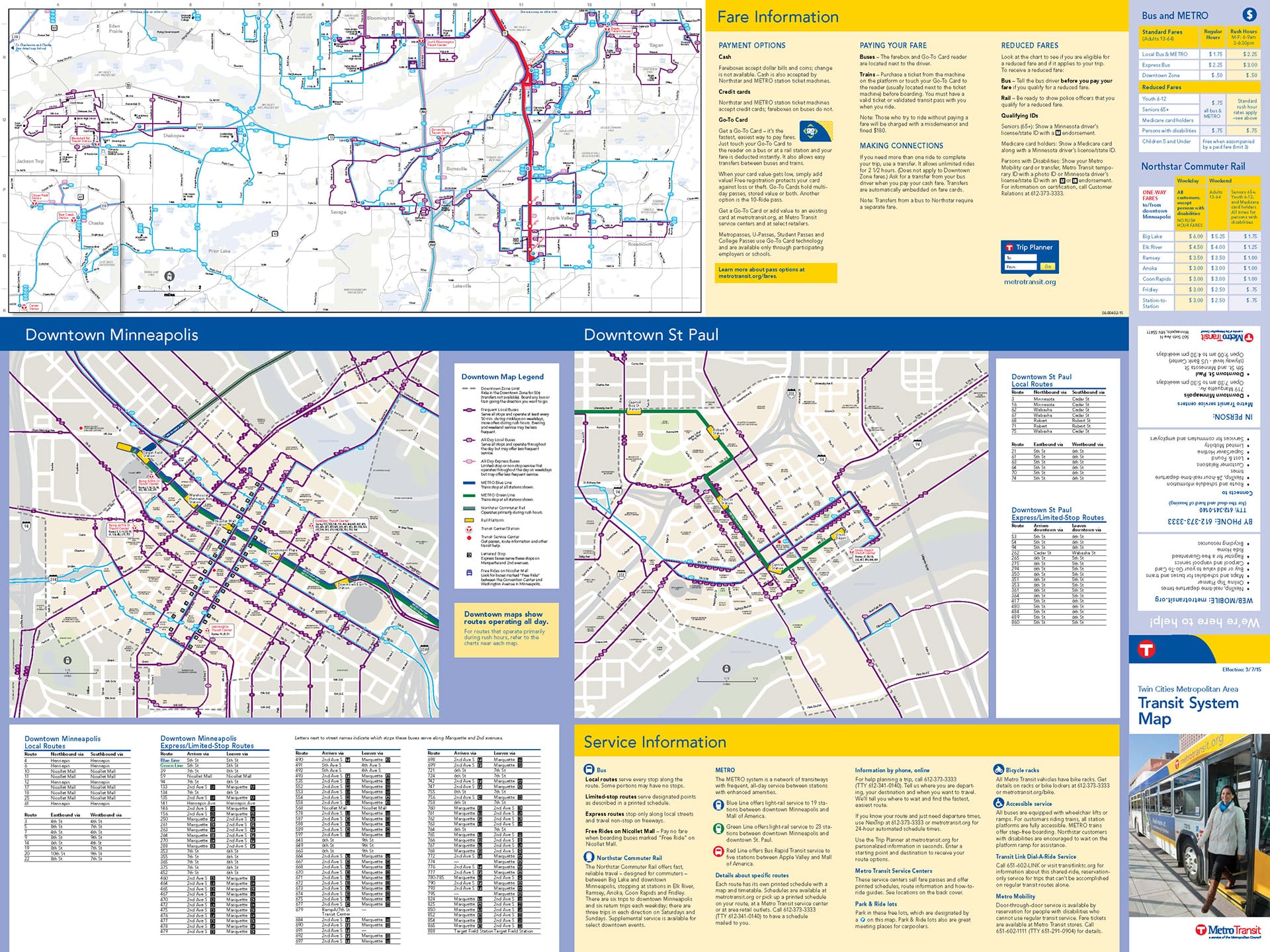
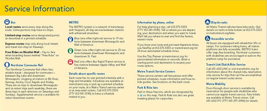
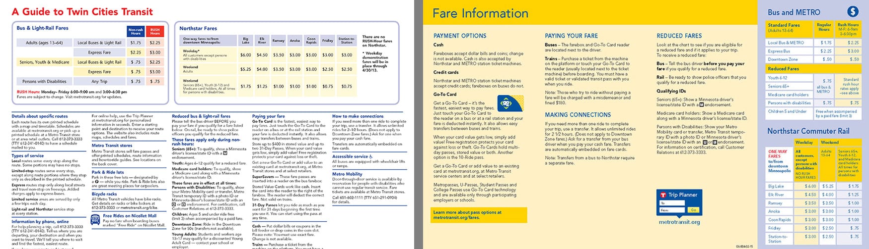
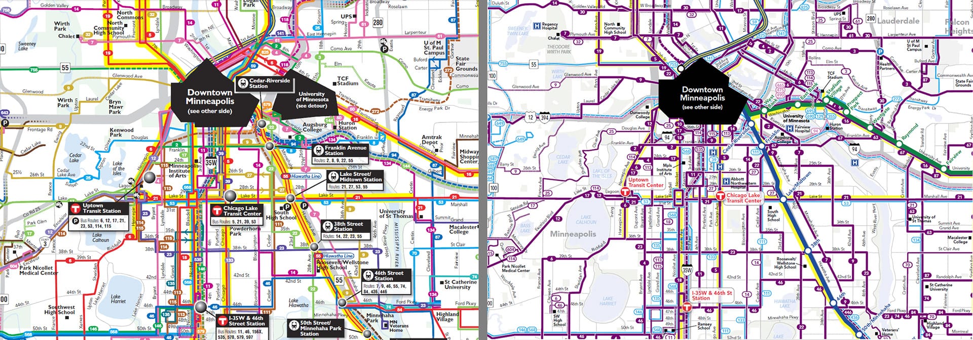
With the addition of a second rail line, Metro Transit completely overhauled its System Map. Using a GIS-based area map imported into Illustrator, we recreated the map from scratch, hand-drawing each route on its own layer. I oversaw the project, providing art direction and contributing heavily to the design. The new map uses a simplified color palette and line thickness to highlight frequent routes and rail lines, making it easier to read while layering more useful information for riders. The informational side was reorganized with clear sections and large subheads so customers can quickly find fares, payment options, and services.